Friday, May 22, 2015

Memorial Day Originates in Central PA!


On an October Sunday in 1864, three women unknowingly started a tradition that continues each year. Emma Hunter and her friend Sophie Keller gathered wild flowers and set out to place them on the grave of Emma’s Father, Dr. Reuben Hunter, at Boalsburg Cemetery. Dr. Hunter was a Union Surgeon during the civil war and died in service. Once the two young women had gathered enough flowers they set out to the cemetery to pay their respects.

Upon entering the cemetery, the two girls came across another woman by the name of Mrs. Elizabeth Meyer who was also placing flowers. She was there to pay respect to her son Amos. Amos had died while in service to the Union during the battle of Gettysburg. The three women talked for some time and then proceeded to lay flowers on the other loved ones graves. Little did they know that at that time they were participating in the nation’s first Memorial Day service. Before leaving the cemetery, the three women made a promise to meet and pay memorial the next year as well.

By the next year, word spread about Ms. Hunter, Ms. Keller, and Mrs. Meyer’s intentions to pay memorial. Soon more people from the Boalsburg community wished to participate. On July 4th of 1856, the community gathered and Clergyman Dr. George Hall gave a sermon proceeded by flowers and flags being placed on the graves of soldiers. This tradition continued each year until May 5th of 1868 when General John Logan issued that may 30th 1898 would be the date of memorial. Later the date would become the last Monday of May as it is today.

As a little side note, there are over 24 communities nationwide the “claim” to be the originators of Memorial Day. However, only Waterloo, New York and Boalsburg, Pennsylvania have strong historical documentation and political backing. Also Memorial Day only paid homage to Union soldiers. The date would later grow to honor Confederate soldiers and then all military that died in service.

Today, Boalsburg holds its claim to Memorial Day very seriously. A Memorial Service is held each year in the Boalsburg Cemetery sometime around 6 o-clock in the morning. After the service many food, music, and craft venders line the streets of Boalsburg. Many of the shops in Boalsburg are also open including the historic Duffy’s Tavern that was once an Inn and stop between Philadelphia and Pittsburgh. Besides the venders, civil war reenactments and car shows are normally part of the event as well. Also the Pennsylvania Military Museum and the Boalsburg Mansion Museum are open to the public. Event goers can also visit the Columbus Chapel that dates back to 16th century Spain. The chapel was shipped to Boalsburg in 1909 when a descendent of Christopher Columbus married a member of the local Bowl family, Col. Theodore Davis Boal.

After attending the Memorial Day event at Boalsburg, I received a newfound respect for our military and also Pennsylvania’s rich history. Boalsburg is right off of Route 322 just a little West of State College in Centre County.


Tuesday, May 12, 2015

Lost Resting Places : Benner Cemetery


Benner Cemetery
My next installment of Lost Resting Places is not as “lost” as ones before that I've  visited. Benner Cemetery however has only just recently been accessible to the public.  For many years, Benner Cemetery was on land owned by the Rockview Penitentiary near State College. In 2010 a new land agreement was drawn up and ownership was transferred over to The Pennsylvania State University. That being the case, it was just asking for me to explore.

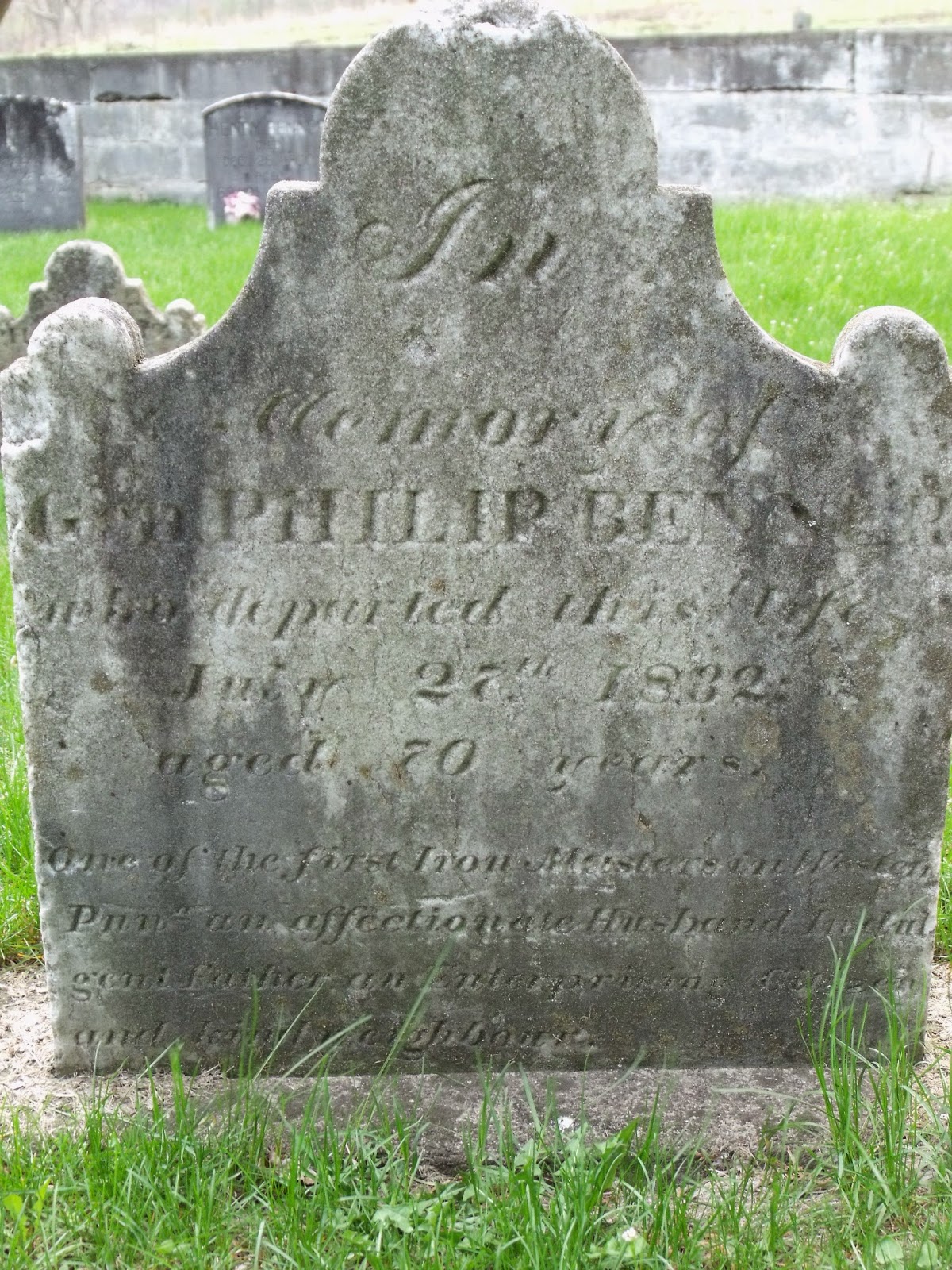
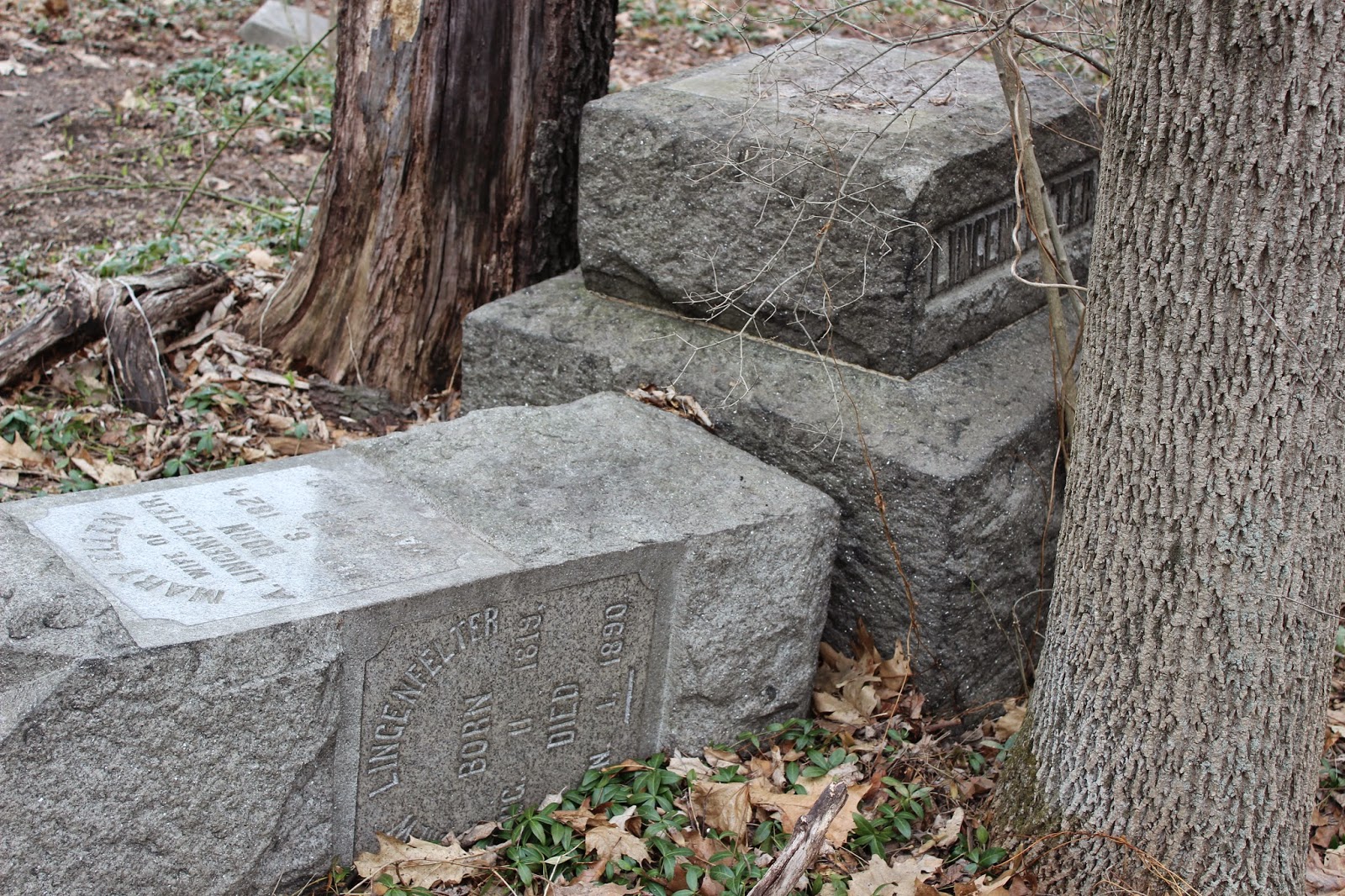
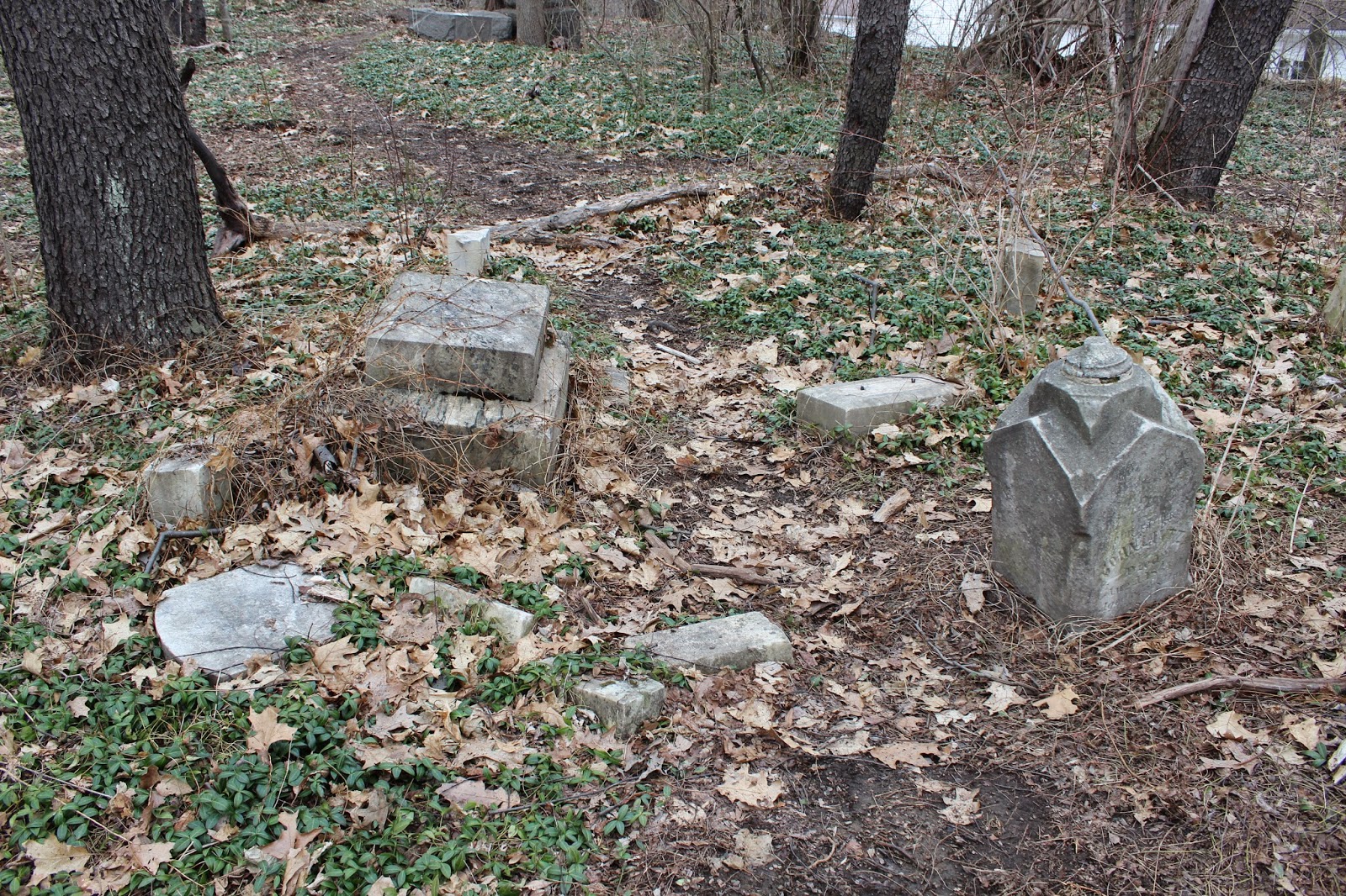
The cemetery gets its name from one of it’s most notable interment, General Phillip Benner, and his family. General Benner is noted as the first Iron Master of what is now Centre County. Besides being an accomplished Iron Master, he went on to build multiple homes in Bellefonte, a few stores, gristmill, and other structures. He later  became a civic leader in the community and founded the Centre Democrat newspaper in 1827. General Phillip Benner wound then pass away in July of 1832. The cemetery today stands in an open field with huge trees surrounding its perimeter. A stone fence encompasses the graveyard’s entirety. The only way in is a stone staircase that goes over the wall. Some graves have fallen over and some are illegible, but people still visit and leave flowers.

          To get to Benner Cemetery, take the Shiloh Exit off of I-99 and head north. A short distance a State Game Lands(SGL) sign welcomes you and a pull off stands to the right. Just after the pull off, there is a small area to park on the left hand side next to a foundation of an old structure, which is about 200 feet from the SGL sign. Follow the path into the woods and eventually it will lead to an open field. Benner Cemetery will be on the left located along the path. It is very hard to miss with the huge trees surrounding it. As always, please be respectful.

Wednesday, April 15, 2015

MayFest : Huntingdon's Spring Festival


   Pennsylvania sure has its share of unique festivals each year. While most of these festivals take place in autumn during the harvest season, one very unique festival in Huntingdon county helps to usher in the beginning of spring. In the borough of Huntingdon, this year will mark the 10th Annual MayFest. This uncommon festival usually takes place in the last weekend of April from 9am to 5pm. For the festival celebration, 5 blocks of  downtown Huntingdon are blocked off for venders, crafters, and some very special entertainment. What makes MayFest truly unique is how each block of downtown captures a different time era including Renaissance, 50's, Woodstock, Colonial, and Victorian. Activities, music, and entertainment center around each blocks time period.  Meanwhile, volunteers and re-enactors dress accordingly to the period. Most of the small business, cafes, and shops in downtown Huntingdon are also open. Some of the shops even offer specials during the festival. All the funds raised during MayFest go to help community non-profit groups.       

     I first heard about the festival a few years ago from a friend that lives in Huntingdon. For the past 2 years I have attended MayFest and plan on going this year on April 25th.  For anyone who loves small town festivals, this one is a must to attend and I strongly encourage it. For a festival goer like me, it is nice to have this festival “bridge the gap” between the autumn festivals. The easiest way to reach Huntingdon is by Route 22. Parking is available in a few different parts around town.

Monday, March 2, 2015

The Abandon Sideling Hill Railroad Tunnel


Southern Portal
     One thing Central Pennsylvania has is an abundance of railroads. That being said there is a lot of history to be explored along those old iron rails. I had recently started to research an abandon stretch of track known as the East Broad Top (EBT) Railroad that is near where I live. I had grown up hearing about the track but never really investigated it until recently. One subject that appealed to me was an abandon railroad tunnel along the EBT named Sideling Hill Tunnel. I recognized the name immediately and thought it had to do with the abandon stretch of Pennsylvania Turnpike, but was mistaken.

     The Sideling Hill Railroad Tunnel got its name from passing through Sideling Hill, which is more like a mountain, and stretches a good part of Pennsylvania. In 1873, it was decided that going through Sideling Hill would be the easiest route for the EBT railroad and boring began at both ends. About 1 year later, the little over 800-foot tunnel was completed. The tunnel had a “horseshoe” curve to it, and would later become a design flaw. In 1911 a locomotive wrecked due to wind freezing water on the tracks. Shortly after the accident, large wooden doors were made to close the tunnel and prevent
freezing. In 1919 a concrete portal was made at the north portal with new metal roll up doors. Men would operate the doors all year around. Then in 1948 the doors became automated to save money. Today you can find the rusted remains of the roll up metal door at the northern portal.

     Currently the tunnel still remains but is slowly fading away. Water is pooled in the tunnel floor, and rocks have fallen throughout the tunnel making it very hazardous. The southern portal is almost caved in completely. We parked in the SGL and walked a good distance with GPS coordinates in hand. Finally, we came upon an old stretch of the EBT railroad. Trees and bushes had reclaimed most of the old rails. We came across the southern portal and didn’t want to chance walking through the tunnel. Our visit was cut short due to the evening creeping up on us and we didn’t get to visit the northern portal. Hopefully we will get a chance to visit it soon.

      The easiest way to reach the tunnel is by Route 944 (old plank Road) between Broad Top City and Three Springs. When driving, look for overgrown railroad tracks and follow them a few hundred years. A parking lot for SGL 121 is a short distance from the tracks. I do not advise anyone to go inside the tunnel due to the very dangerous condition it is in.

Monday, January 26, 2015

The Abandon Pennsylvania Turnpike & Tunnels

Sideling Hill Western Portal

Abandon Stretch of Turnpike
The Pennsylvania Turnpike has evolved a lot over the past several decades since it opened in the 1940’s. At first much of the turnpike was originally used as a railroad then later turned into highway. The Turnpike now travels over mountains but when it first opened it went through them. With seven tunnels along the stretch, the turnpike would bottleneck from a 4-lane to a 2-lane highway through the tunnels. Due to congestion, primarily at the Breezewood interchange, the tunnels were bypassed. This left about 13 miles of abandon highway and tunnels in South-Central Pennsylvania. The remaining tunnels were enlarged to allow better flow of traffic and remain part of the Pennsylvania Turnpike today.

Access to Turbine Room
The Abandon Turnpike is still currently accessible to pedestrians and bicyclists; were as, motor vehicles have been prohibited. Non-profit conservation groups manage parts of the Abandon Turnpike. The groups have tried to make it a rail-to-trail recreation area. Two tunnels, Rays Hill and Sideling Hill, are open to the public and are the most well known. The tunnel further west, Laurel Hill, is privately owned and being used as a test site. The abandon turnpike is easily accessible from 3 different points. Pump station road off of Rt. 30 takes you to the Eastern part of Sideling Hill Tunnel. Oregon Road off of Rt. 30 takes you in-between Sideling Hill and Rays Hill Tunnels. Lastly, the intersection of Rt. 30 and Tannery road near Breezewood takes you to the western part of the turnpike near Rays Hill Tunnel.

Inside the Tunnel
            I have been to the abandon turnpike tunnels numerous times, and they have yet to get old. Even before reaching the tunnels, there is something amazing about walking down the abandon interstate highway. Trees are growing in the median. Grass and weeds creep up from the cracked concrete. My favorite time to go is at night. The highway gives off an eerie post-apocalyptic vibe that you would see in movies. At night the tunnels can be seen by the moonlight, but the inside is so dark you can’t see your hand in front of your face.

Turbines
Visiting during a sunny day however, you can just barely see through the tunnel to the other side. This is also the best time to explore the inner structures of the tunnels at your own risk of course. I have explored Sidling hill tunnel the most over the years. The massive turbines that pushed air in and out of the tunnel are still intact in the upper floor of the tunnel entrance. The tunnel walls are always changing with new graffiti on both sides. Along the tunnel way where the old lights were, numbers are painted to help you judge how far you are along the tunnel. The tunnels are primarily intact with some concrete falling from the ceiling. Water does come down from the ceiling at both portals but the inside is usually dry. 

Air Shaft above Tunnel
  If you plan on visiting the tunnels, it is at your own risk. I would recommend wearing comfortable shoes and taking a flashlight regardless of time of day and only staying on the road and not exploring the other parts of the structure.

Saturday, January 17, 2015

Centralia : A Ghost Town Burning for over 50 Years


Abandon part of Route 61
     Centralia is one of the best-known ghost towns of Pennsylvania. It was even inspiration for the Silent Hill motion picture. At its peak over 2500 residents once lived in the old coal-mining town; now less than 5 people occupy the town. Incorporated as a borough in 1866, it was inhabited primarily by coal miners. The borough grew to have a few hotels, over 20 salons and 14 general stores. Anthracite coal mining continued in the town form the late 1860's until 1962. Anthracite coal was highly valued in the steel industry since it would burn hotter and longer than other types of coal. Unfortunately the towns lively hood would be its downfall. Anthracite coal is also hard to ignite, and harder to extinguish.

Overgrown Intersection in Town
     In 1962, firefighters were burning local trash near a cemetery on the outside of town. They had been doing this for years, however, this time where they choose to burn the trash had a vein of coal near the surface and it caught fire. The ground fire was put out easily, but little did they know the fire had spread underground. For a few years attempts to research and put out the fire had made things worse, providing air to the fire. In the 1980's it was estimated to cost nearly 600 million dollars to
contain the fire that was burning in the 3000-acre coalfield. The US government could not justify the cost and eminent domain was evicted in the early 1990s. Some residents had left when the fire started and the town slowly started to fade away. It is estimated that the coal will burn for another 250 years and no plans have been made to extinguish it.

    Centralia has now become a frequented place for visitors and urban explorers. The town remains very unsafe with fractures in the earth, sinkholes, toxic gases, and temperatures reaching over 500 degrees only a foot underground. Even with all the dangers, on almost any day a handful of people can be seen walking through the grass covered roads. Three cemeteries and the Assumption of the Blessed Virgin Mary Ukrainian Greek-Catholic church still remain but not much else. A stretch of
Route 61 has been made detoured due to the earth twisting the pavement. Now graffiti litters the black top that used to be a 4-lane highway.

     I chose to brave the dangers in the summer of 2009 with a few friends. We arrived in the ghost town which is just a short drive east from Ashland PA. No homes remained when we visited. A few sidewalks and remains of stairs remained along the unkempt roads. We visited the 3 cemeteries on the south side of town. From almost any point in the town the Assumption of the Blessed Virgin Mary Ukrainian Greek-Catholic Church overlooks the ghost town from the hill above. Our last stop was the
abandon part of Rt. 61. Gases could be seen coming from the cracked pavement and the road was warped and twisted. We walked about a mile along the road and took time to read the graffiti and then made our way back home.

      Please use extreme caution if you chose to visit this location. Multiple warning signs are posted around the area.

Blocked portion of Route 61

Steam was rising from the cracked pavement

Lost Resting Places : McGarvey Cemetery


     This cemetery is not as lost in memory as others in the area; however, it still remains unkempt. The cemetery is in a wooded area at the corner of 48th street and Broad Avenue in Altoona. Many of the tombstones have fallen over or are overgrown with vegetation. I was not able to find much history about the cemetery, and most the names on the stones were unreadable.